Amazon.ia: Using AI with Satellites to help Rainforest
Planet's new Amazon.ia platform pairs satellite imagery and AI with ground data to track biodiversity and forest health across the Amazon in near real time.
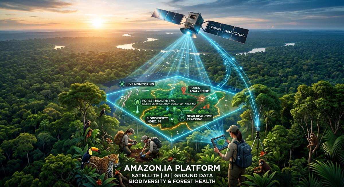
Earth-observation company Planet this week launched Amazon.ia — Inteligencia Ambiental — a platform that combines satellite imagery, AI analysis, and ground-based data collection to monitor biodiversity and ecosystem health across the Amazon at a scale that manual monitoring can't match. The tool is built to turn raw satellite feeds into things people can actually act on: change alerts, biodiversity status assessments, protected-area effectiveness scores, and evidence of ecosystem recovery, delivered to conservationists, scientists, governments, and local communities.
More than two dozen organizations are behind the effort, including the Bezos Earth Fund — which is channeling over $14 million through the Andes Amazon Fund and World Resources Institute — alongside Microsoft's AI for Good Lab, MIT, Cornell, Arizona State University, Smithsonian ForestGEO, and WWF.
This is close to a model case for what we want to see more of at AI for Ecology: a conservation AI tool built with named partners, disclosed funding, and a defined coalition rather than a black-box model with a press release attached. Platforms like Amazon.ia are also exactly the kind of project that would benefit from the open benchmarks and interoperability standards we're pushing for — so conservation AI tools can eventually be compared and trusted the way safety-critical software already is, instead of each institution building and validating its own from scratch.
Source: Planet Labs PBC